3 hr
Tamarind Falls 3-Hour Rainforest Hike
Trek through volcanic canyons to seven cascading waterfalls, swim in natural rock pools, and explore lush tropical terrain.
Reserve
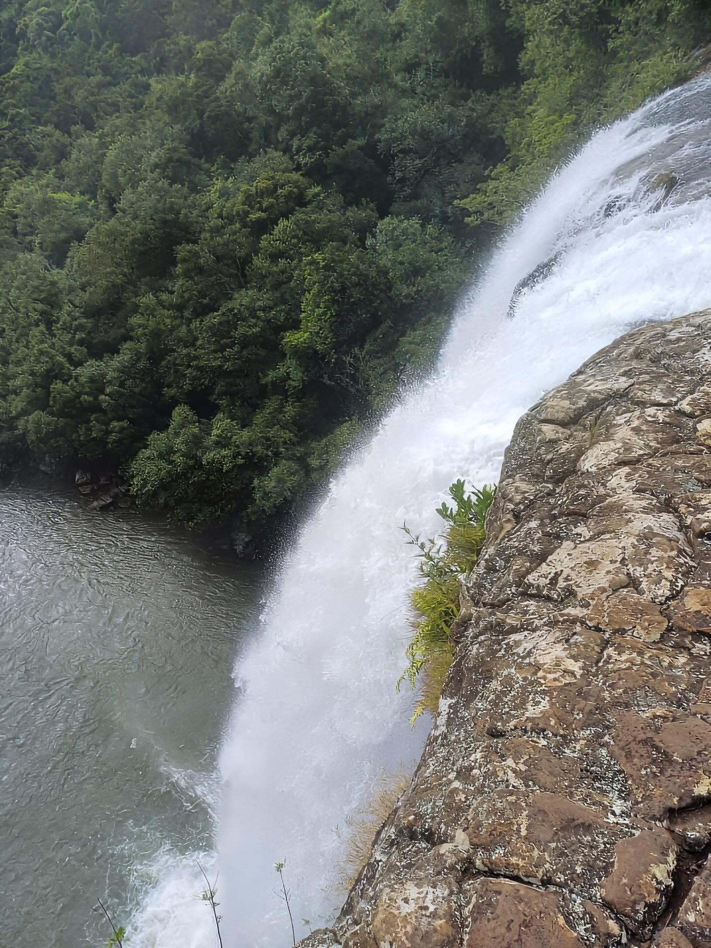
Rope-assisted scrambles through volcanic gorge, open year-round with no entrance fee
Hand-picked by our editors — only the best 4 guided experiences from 11 reviewed.
Verified partners for Tamarind Falls Hike tours, free cancellation where available, and instant confirmation on every booking.
3 hr
Trek through volcanic canyons to seven cascading waterfalls, swim in natural rock pools, and explore lush tropical terrain.
Reserve
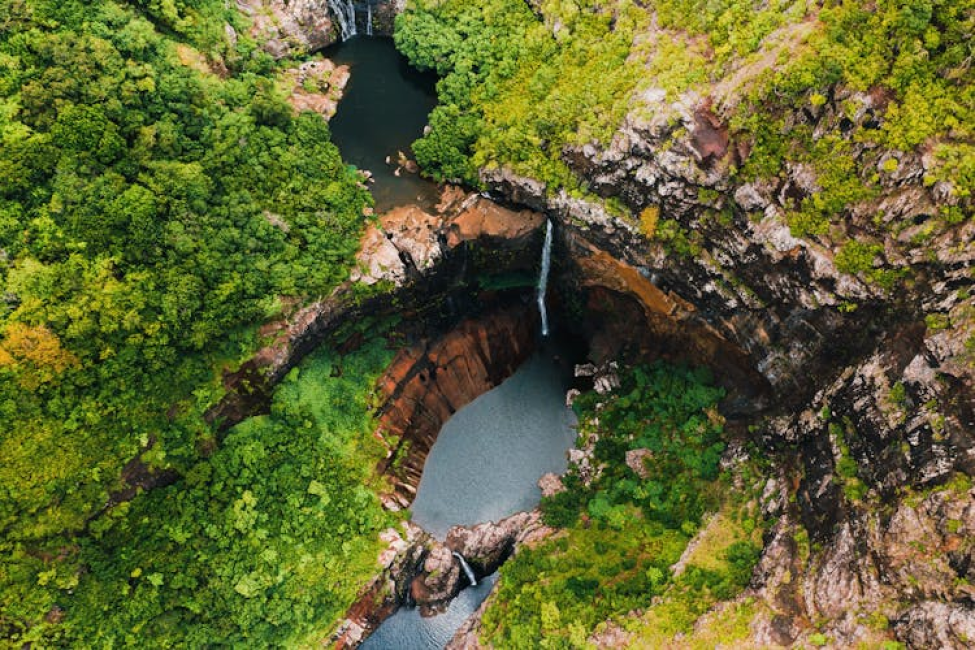
5 hr
Trek through lush forest to discover a chain of cascading falls, swim in natural pools, and savor a picnic lunch
Reserve
3 hr
Trek through volcanic gorges and river crossings to witness seven stunning waterfalls in Mauritius' wild interior.
ReservePrices from verified partners. Availability updates in real time at checkout. Free cancellation policies apply where shown.
Every Tamarind Falls Hike tour side-by-side — duration, what's included, how you redeem.
| Experience | Duration | Rating | Transfers | Guide | Small group | Free cancel. | Price | |
|---|---|---|---|---|---|---|---|---|
|
Standard Entry Most popular
Tamarind Falls 3-Hour Rainforest Hike
|
3 hr | ★ 4.9 | — | ✓ | ✓ | ✓ | €50 | Book → |
|
Premium Combo
Seven Waterfalls Trek with Lunch
|
5 hr | ★ 4.6 | ✓ | — | — | ✓ | €95 | Book → |
|
Standard Entry
Tamarind Falls 7 Cascades Hiking Adventure
|
3 hr | ★ 4.9 | — | ✓ | ✓ | ✓ | €41 | Book → |
All prices from verified partners. Availability and exact terms confirmed at checkout.
The Tamarind Falls hike offers an immersive adventure for active trekkers, while Chamarel Waterfall provides a convenient, scenic vista suited for casual sightseers. These attractions complement each other; most visitors who do both call the former the more thrilling experience.
| Feature | Top pick Tamarind Falls | Chamarel Waterfall |
|---|---|---|
Physical exertion required |
High (hiking terrain) | Low (walking to platform) |
Viewpoint vs Base access |
Base access allowed | Viewpoint access only |
Time commitment |
3–5 hours | 30–60 minutes |
Guided necessity |
Recommended for navigation | Not required |
Suitable for children |
Older children only | Suitable for all ages |
Photographic vantage point |
Multiple canyon perspectives | Single panoramic viewpoint |
| See tickets → |
Verdict: Choose the Tamarind Falls hike tours if you seek a physical challenge in nature, or select the Chamarel Waterfall for accessible landmark viewing if you have not purchased tamarind falls hike tickets for a guided trek.
Choose your ticket, select your date, and reserve in under two minutes. Secure checkout handled by our verified partner.
Instant confirmation by email, with a mobile voucher you can save offline. No printing, no queuing at a collection desk.
Arrive at the entrance, show your voucher on your phone, and walk in. Most tickets include priority or skip-the-line access.
Practical details for Tamarind Falls Hike tickets straight from our verified partners — hours, access, rules, and how to get there.
Henrietta, Mauritius
Primary access point for hikers
Open in Google MapsRental vehicle is the most reliable way to reach Henrietta.
Bus lines to Curepipe then taxi to Henrietta.
Wear sturdy hiking boots with excellent grip as the trail involves steep, muddy sections. Moisture-wicking clothing is essential for this Mauritius landmark trek.
Carry a lightweight, water-resistant backpack to keep your hands free. There are no security checkpoints at the Tamarind Falls trailhead.
Waterproof camera gear is recommended for capturing the waterfalls. A wide-angle lens helps document the scale of the canyon during your tamarind falls hike.
The paths are not accessible for individuals with reduced mobility. Expect uneven ground, river crossings, and steep gradients throughout the tamarind falls hike.
Mobile signal is inconsistent within the deep canyon. Download offline maps before beginning your tamarind falls hike.
The trail is suitable for active teenagers and adults with good fitness levels. It is not recommended for small children due to dangerous precipices and difficult terrain.
Bring sufficient water and light snacks, as there are no shops along the canyon route. Pack out all waste to preserve the environment during your tamarind falls hike.
Pets are discouraged on the trail due to the rough terrain and steep drops. Ensure your animal is kept on a lead if you choose to bring them.
Always check weather reports before departure, as heavy rain causes flash floods in the canyon. Hiring a local guide is highly advised for safety on a tamarind falls hike.
Best time to go, insider tips, nearby landmarks, and the cancellation fine print — flip through to skim what matters to you.
How crowds, weather, and events shift across the year.
Cooler temperatures make this the most comfortable time for a tamarind falls hike.
Higher humidity and risk of tropical rain; check conditions daily.
The best arrival window is 07:00–10:00 for the best light and fewer crowds.
Small details that turn a good visit into a great one.
Follow the recommended 07:00–10:00 arrival window to avoid midday heat.
A local guide ensures you navigate the complex trail of this tamarind falls hike safely.
Rock conditions become very slippery after rain; wear appropriate footwear.
Use dry bags to keep gear safe during water crossings.
Carry all trash back to the city to protect the Tamarind Falls ecosystem.
Non-bookable sights within a short walk — free to visit, easy to pair.
A dormant volcanic crater offering views of the island.
A historic colonial mansion with lush botanical gardens.
Flexible, no hidden fees.
As there is an entrance fee of 0 MUR (Free entry; no official park fee), there are no booking cancellation charges. Independent guides providing a tamarind falls hike tour may have their own private cancellation policies.
Hand-picked options within walking distance — pick a district for vibe, or a specific hotel for convenience.
Convenient access to southern hiking trails.
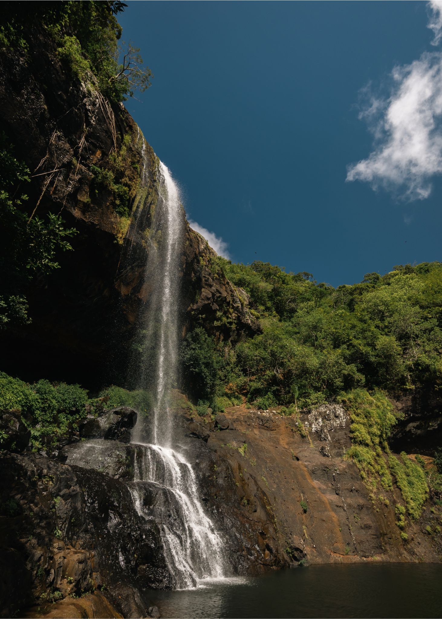
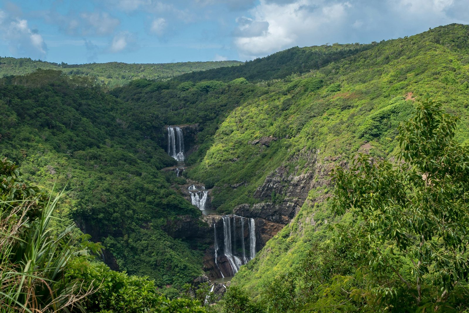
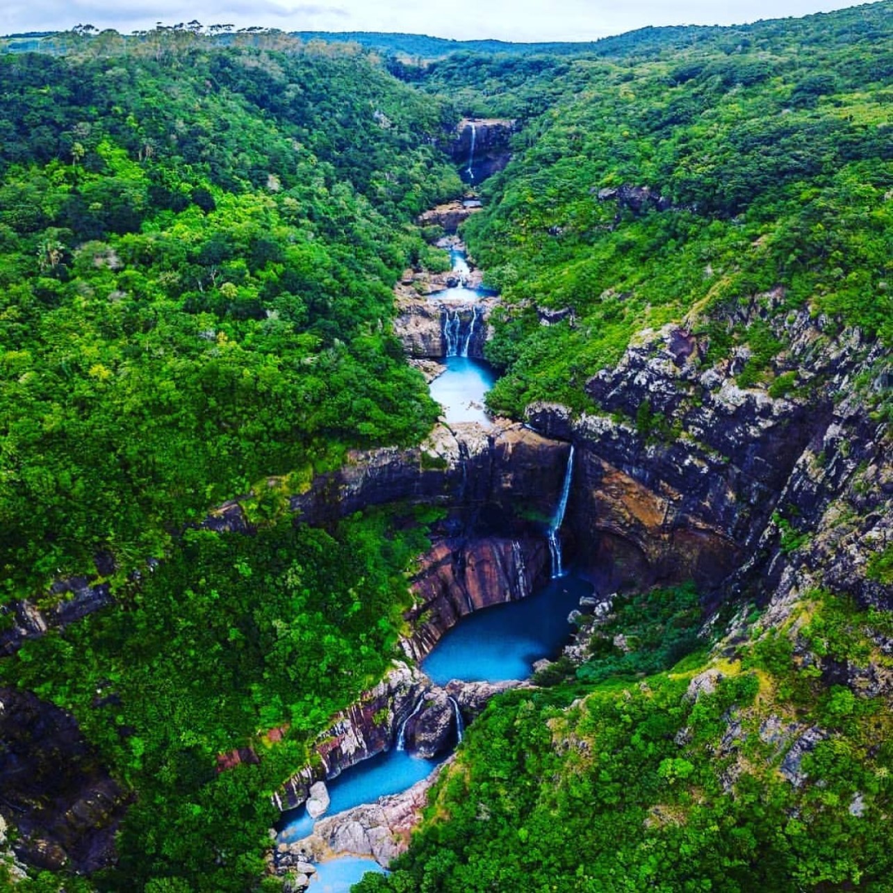
Tamarind Falls—known locally as Sept Cascades, or Seven Cascades—drops in a staggered sequence through a basalt gorge carved by the Tamarin River, which drains the central plateau of Mauritius before spilling westward toward the coast.
The site lies in the district of Henrietta, roughly eight kilometres inland from the fishing village of Tamarin, and remains one of the island's few waterfall systems accessible without formal park infrastructure or ticketed entry. The largest cascade measures approximately twenty-three metres in vertical drop, fed by perennial flow that swells during the austral summer cyclone season and recedes to a crystalline trickle by September.
The trail network developed organically over two decades as local guides began leading visitors down from the cane-field access road into the ravine. No government authority manages the site. Rope anchors bolted into the rock face mark the steepest descents, installed incrementally by guides and reinforced after storm washouts. The path descends through introduced eucalyptus and guava thickets before entering native riparian forest dominated by bois de natte and traveller's palm. Birdlife includes the Mauritius bulbul and the endemic olive white-eye, both audible in the canopy at dawn.
Visitors navigate the tamarind falls hike difficulty by choosing one of three informal routes: the upper pools accessible via a twenty-minute descent on compacted soil; the mid-canyon circuit requiring waist-deep wading and rock scrambles; and the full traverse to the base cascade, a round trip of three to four hours involving rope-assisted climbs and exposure to slick basalt. The trail surface varies from red laterite to loose scree, and the final approach to the lower falls crosses a boulder field prone to flash flooding during heavy rain. No signage or marked trail exists. Mobile reception cuts out below the ridgeline.
The tamarind falls hike mauritius gained visibility in the mid-2010s through social media posts showing turquoise plunge pools framed by volcanic rock. Visitor numbers doubled between 2016 and 2019. The absence of entrance fees and the proximity to coastal resorts have made the site popular with independent travellers seeking an alternative to the groomed paths of Black River Gorges National Park. Environmental advocates have raised concerns about erosion on the unmanaged trail and litter accumulation in the canyon, but no formal conservation plan has been enacted. The land remains privately owned by a sugar estate, which tolerates access but provides no facilities. Guides operate under informal arrangements, many based in Tamarin village, and rates are negotiated directly rather than through a centralized booking system.
"The trail descends through introduced eucalyptus and guava thickets before entering native riparian forest dominated by bois de natte and traveller's palm."
A step-by-step walkthrough of Tamarind Falls Hike tickets — what you'll see, how long each stage takes, and the details that matter.
You leave the main road at a gravel turnoff flanked by sugarcane fields, where guides gather near parked cars to confirm your booking. The descent begins on a red-dirt path that drops steeply through waist-high grass, and within ten minutes the temperature cools as you enter the shade of eucalyptus and guava trees.
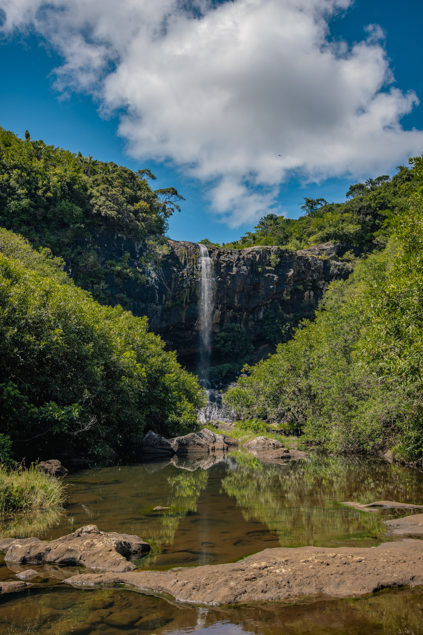
The first cascade comes into view through a break in the canopy—a narrow ribbon of water spilling into a circular pool edged with ferns.
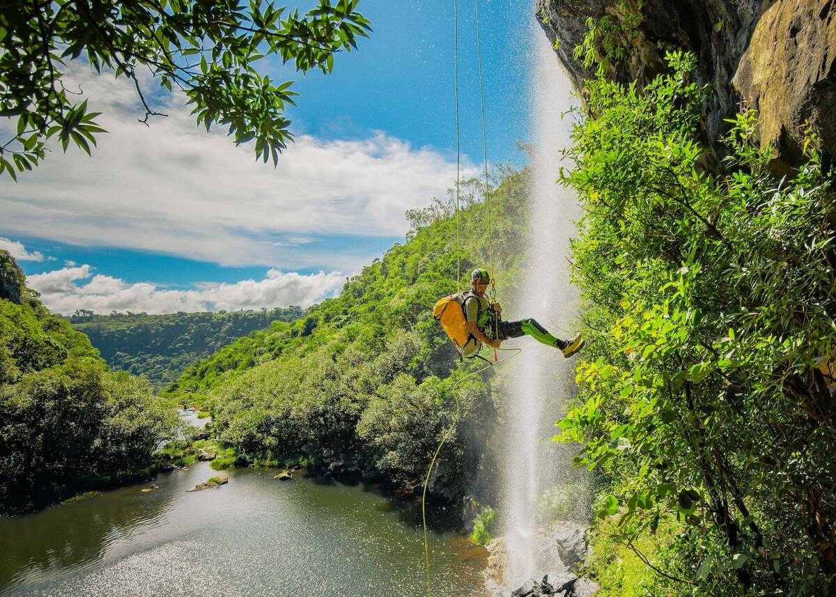
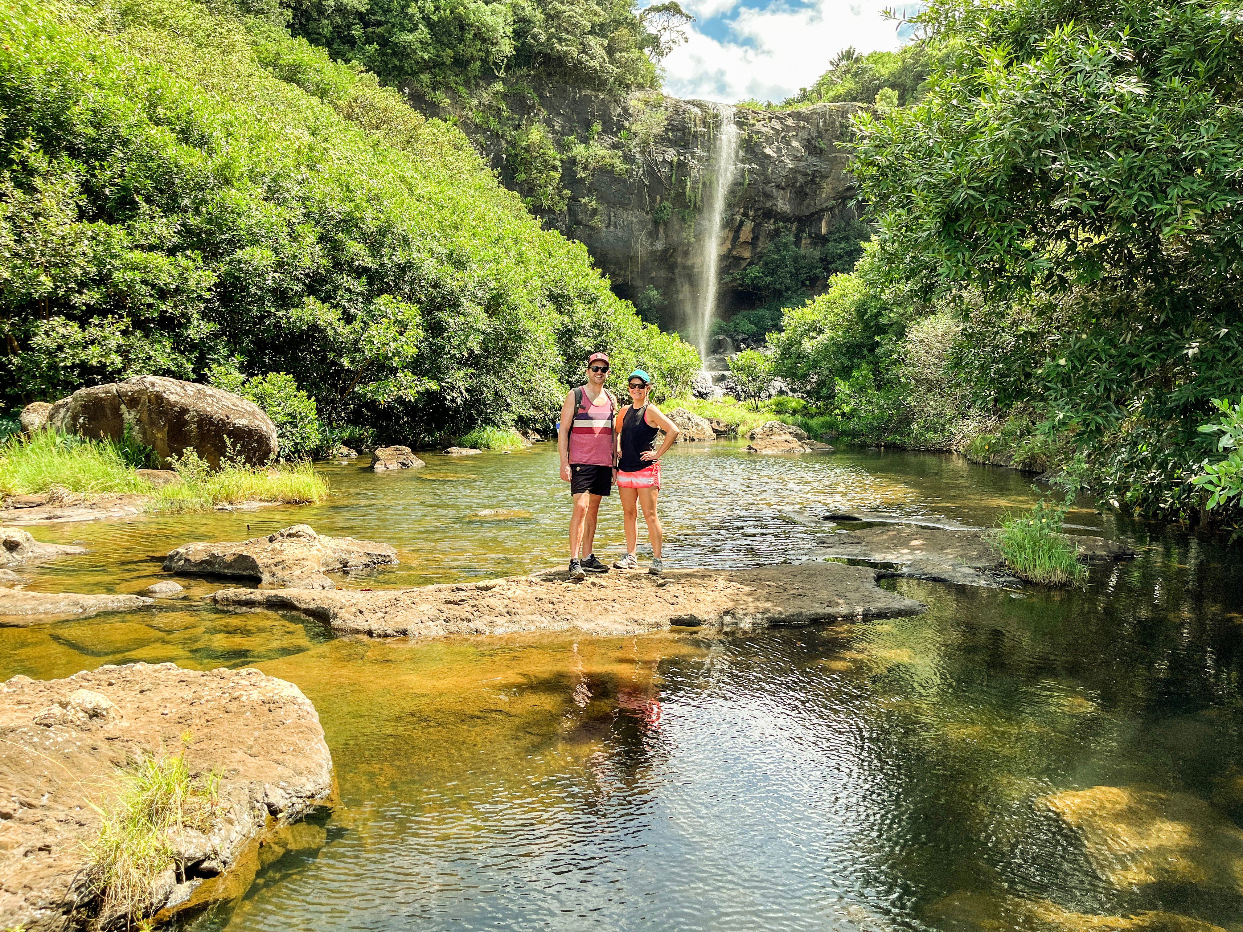
Your guide gestures toward a knotted rope anchored to a boulder. You grip it and step sideways down a near-vertical rock face, your shoes slipping on algae-slicked basalt. At the base of the scramble, you wade knee-deep across a pool to reach the next cascade. The water is cold, stained amber by tannins from upstream vegetation. You pause to photograph the falls, then continue downstream, hopping between boulders and ducking under overhanging branches. The canyon narrows. The sound of rushing water amplifies.
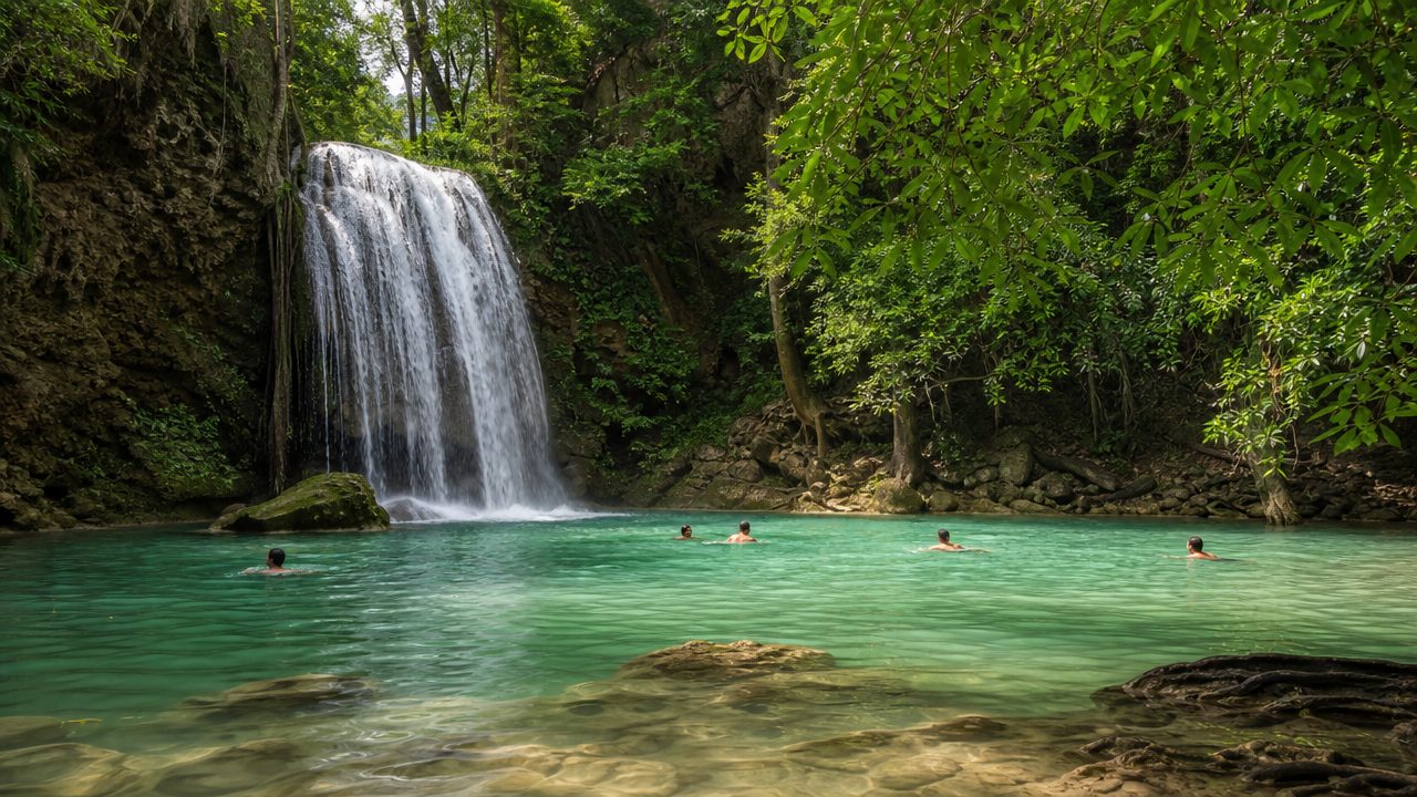
The final descent to the base cascade requires a rope-assisted climb down a fifteen-metre cliff. You lower yourself hand over hand, feet braced against the rock, until you reach the plunge pool below. The main cascade thunders into a basin twenty metres wide, surrounded by vertical walls draped in maidenhair fern. You swim to the base of the falls and feel the force of the water on your shoulders. After twenty minutes, your guide signals the return climb, and you retrace the route upstream, pulling yourself up the same ropes you descended two hours earlier.
The area is accessible 24 hours a day (00:00–23:59).
There is 0 MUR (Free entry; no official park fee) for the site.
You should follow the best arrival window of 07:00–10:00 to avoid afternoon heat.
No, there are no luggage or locker facilities available at the site.
The hike involves difficult terrain and steep drops, making it unsuitable for small children.
No, the natural canyon paths are rugged and not suitable for accessibility needs.
Bring sturdy boots, water, rain gear, and a camera for your tamarind falls hike.
No tickets are required as the site has 0 MUR entry; tours may require booking.
It is dangerous to hike during heavy rain due to potential flash floods in the canyon.